
Follow a Midlothian Street Address
A street-by-street search is a sequence, not a single list. Begin with the delivery-formatted address, capture the assessment owner and parcel keys, and keep the source date beside each result. The Ellis Central Appraisal District property search supplies the assessment side, while the county map and clerk index connect that address to land and recorded instruments. Each source uses a different label for a person. Keep “owner,” “grantor,” “grantee,” and “registrant” separate rather than treating them as interchangeable.
- Address: confirm the postal form when a house number or suffix fails, then search the situs address in ECAD.
- Owner: record the property ID, geographic ID, legal description, assessment owner, mailing string, exemption flag, and retrieval date.
- Deed chain: use the owner as a grantee search in the Ellis County AcclaimWeb index, then match the instrument to the legal description before following the seller backward.
- Voter record: use the Texas voter lookup only for the limited registration status and jurisdiction information it returns. It is not a street roster.
- Historical directory: use a dated directory or telephone book as a past address clue, then retain its edition and page with the parcel record.
The chain can cross city, ETJ, and unincorporated county territory on one road. A county parcel key and legal description are steadier than a street name alone, especially where a map, delivery city, and municipal address layer do not use identical boundaries.
Search Midlothian Parcels in ECAD
ECAD is the practical start for a Midlothian street directory because it accepts owner, situs address, account or property ID, geographic ID, and legal-geography clues. A returned parcel can show its legal description, map or neighborhood code, ownership percentage, valuation, and exemption information. The mailing address is a separate field. It may identify an agent, entity, relative, post-office destination, or another contact location, so it is not evidence that the owner lives at the situs.
| ECAD field or result | How it helps by address |
|---|---|
| Owner name | Assessment owner shown by the current appraisal roll |
| Property or situs address | Street-number entry point, distinct from mailing address |
| Account or property ID | Direct parcel key for a saved street row |
| Geographic ID | Appraisal-geography key for matching map context |
| Legal description | Lot, block, subdivision, or survey clue for deed matching |
| Exemption flag | Assessment context only, not a live household listing |
The ECAD property-search entry screen shows the starting point for owner, address, and parcel work.
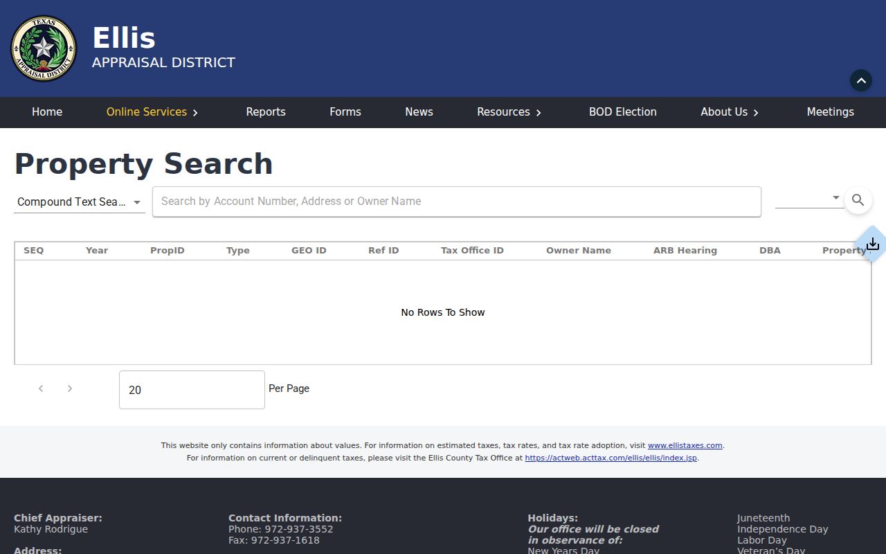
Use the ECAD result to capture keys first, then compare the parcel rather than copying a name into unrelated records.
Map a Midlothian Street Segment
The Ellis County GIS portal publishes web maps, PDF maps, address lists, and road-name resources. County GIS maintains geospatial data and NCT9-1-1 addressing, while the Midlothian Maps and GIS page describes city and ETJ address assignment, maps, dashboards, and a public-information route for layers not online. Use the address search or map click method because live layer names and street-browse controls can change.
Turn on the available parcel and road layers, identify the subject parcel, and compare adjacent gaps rather than assuming every visible structure has the same street pattern. A gap can be a common-area tract, a split or merged parcel, a different delivery city, or an address that belongs to an adjoining road. The city address form itself uses the ECAD property ID and primary-access road, which shows why map position and parcel identity should travel together.
The Ellis County GIS portal landing page is the public entry point for these map resources.
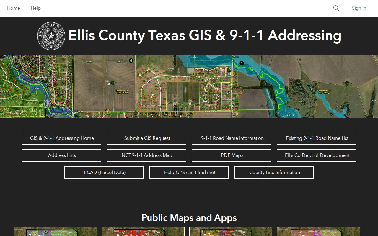
Map evidence establishes parcel and road context, not the people currently present at an address.
Midlothian Street Directory Records
Address-keyed records answer narrow questions well. The parcel roll describes a current assessment relationship; a deed records a dated land transaction; a permit records a project; and a voter record has its own statutory boundary. The table keeps those roles visible during a Midlothian street directory search.
| Address record | Custodian | Useful street detail | Access boundary |
|---|---|---|---|
| Appraisal parcel | Ellis Central Appraisal District | Assessment owner, situs and mailing strings, IDs, legal description, value, exemptions | Current public web search; historical start not posted |
| GIS parcel map | Ellis County GIS and city GIS | Parcels, roads, address points, and published layers | Public maps; layer dates vary |
| Recorded instruments | Ellis County Clerk | Grantor, grantee, instrument, type, recording date, legal description | Free index; image access differs from index access |
| Plat or subdivision record | County Clerk and city planning | Lot, block, easement, and street layout | Online image availability varies |
| Building permit | Midlothian Development Services | Project, applicant or contractor fields, permit and inspection timing | MyGov, reports, kiosk, or a focused request |
| Voter record | Texas SOS and Ellis County Elections | Limited status and jurisdiction context | Protected information is withheld |
A property ID ties the appraisal record to the address process, while the legal description bridges the parcel to a deed. The street name is useful for organizing a row-by-row worksheet, but it should not replace either stable key. Note: Record the map, appraisal, instrument, permit, and directory dates separately because each source changes on its own schedule.
Trace Midlothian Deed Records
Once the legal description is in hand, AcclaimWeb turns a current parcel clue into a dated title trail. Search the assessment owner as a grantee, limit the date window, select deed-related document types, and compare the seller, instrument number, recording date, and legal description. The seller then becomes the next grantee-name search for the earlier transfer. Search personal and entity names separately and try Starts With, Contains, and Exact matching where needed.
The index offers role filters and document types such as deeds, deeds of trust, easements or rights of way, liens, releases, plats or maps, judgments, and probate. Those labels matter. A lien or deed of trust is not a transfer, and a release can close an earlier event. Guest access shows index information, while image purchase requires an account and carries a transaction charge. The live page provides a finalization date, but it does not post an earliest searchable year, so older material may require the County Clerk, archival indexes, or microfilm assistance.
The Ellis County AcclaimWeb deed-index search exposes the name, date, role, and document-type filters used for this step.
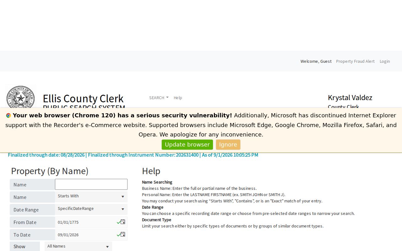
A recorded deed can support a dated ownership trail, but it does not establish present occupancy.
Define Midlothian Address Keys
A street directory becomes easier to audit when the parcel vocabulary stays precise. Older or rural land may use a survey or metes-and-bounds description rather than a modern number, and a plat can preserve the lot and block even if the mailing presentation changes. Keep the original spelling of a historic address in one field and a current standardized form in another.
- Parcel
- A mapped tract associated with appraisal and geographic identifiers.
- Situs address
- The physical property location used in the appraisal record, separate from a mailing string.
- Plat
- A recorded map that lays out lots, blocks, streets, easements, or subdivision features.
- Criss-cross directory
- An address-arranged directory used as a dated historical lead, not a current resident roll.
For a past household clue, the documented institutional route includes the UNT Portal to Texas History, the Texas State Library directory guide, and local historical repositories. The historical collections belong on the Midlothian city directory collections page, where their dates and limits can be weighed separately.
Check Midlothian Permit Addresses
Midlothian Building Permits and Inspections directs permit status and inspection scheduling through MyGov. The city also provides a Development Services lobby kiosk for people without internet access. Permit and inspection records may supply an address, project type, applicant or contractor fields, dates, and an inspection history. They are useful for dating work at a parcel, not for declaring who lived there.
When a needed layer is not public, request an existing record from the custodian with a narrow address, record type, and date range. The city archive has keyword, category, time-period, and date-range controls for municipal documents, including annual building reports. A permit history should retain the permit number and issue or inspection date beside the parcel key. Note: A request under the Texas Public Information Act seeks existing records and does not require an agency to assemble a new street list.
Verify Midlothian Street Formats
When ECAD or GIS misses an address, use the USPS ZIP Code Lookup to test the delivery format before treating the parcel as absent. Its address mode accepts a street address and optional apartment, city, state, and ZIP details. The result may clarify a directional prefix, suffix, or delivery ZIP. It does not confirm a person or organization at the address.
Midlothian has a primary delivery ZIP, yet Census ZCTA geography also intersects 75167 and 76084. Those statistical intersections are not a promise that every city address uses those delivery ZIPs. A road may also cross city limits, the ETJ, or unincorporated Ellis County. Label the source field exactly, such as USPS delivery result, ECAD situs city, or city GIS address point, rather than flattening those different geographies into one claim.
Keep Midlothian Voter Results Narrow
The public voter lookup is a status tool, not a full voter file and not a block roster. Texas does not register voters by political party. A public match can confirm limited registration and jurisdiction information, while a non-match may reflect a spelling difference, a recent move, a status change, protection, or another county. Telephone numbers, Social Security numbers, driver-license information, and dates of birth are not published through voter websites.
The Texas voter lookup form is the official starting point for an individual status check.
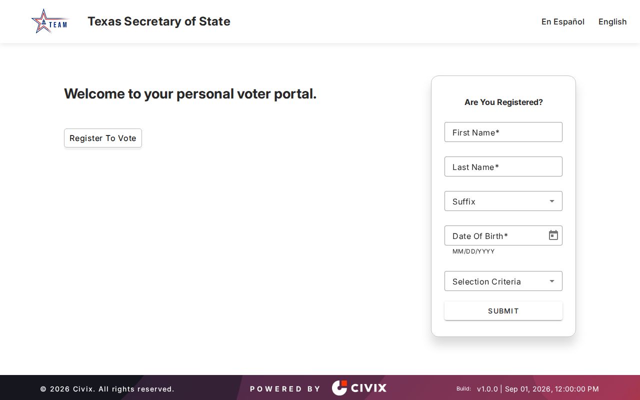
Protected voters and address-confidentiality participants may be excluded or represented under substitute-address rules, which is an intentional privacy safeguard.
Midlothian Street Directory Limits
No public street directory can establish everyone who lives behind each door. An appraisal owner may be an entity or use another mailing address. A permit applicant, telephone subscriber, deed party, or voter registrant has a source-specific role. Utility customer data, delivery records, protected voter addresses, DMV personal data, sealed records, and information about people not named in a public record remain outside a proper street search.
Lawful use. Use Midlothian address records for personal, civic, genealogy, or property-history questions. Do not use records to watch, harass, intimidate, or harm anyone.
For a one-person question after an address trail produces a name, use the distinct verification workflow on the Midlothian resident search page instead of broadening a street worksheet beyond its evidence.
Log a Midlothian Street Search
A defensible street directory note is short but specific. Save the standardized address, parcel and geographic IDs, legal description, source URL, retrieval date, and source label. Add an instrument number and recording date for a deed, a permit number and event date for a permit, or an edition and page for a historical directory. That record trail explains why a result belongs to a parcel without claiming more than the source says.
- USPS-formatted address and the map source used
- ECAD property and geographic IDs
- Legal description, subdivision, lot, block, or survey wording
- Instrument number, role, document type, and recording date
- Permit, directory, or voter source with its own retrieval or publication date
A blank result deserves its own note: no parcel match, a city or ETJ boundary, a protected voter, a non-digitized permit, or an unindexed historical directory each calls for a different next source. For a Midlothian road crossing a jurisdictional boundary, compare city GIS, county GIS, and ECAD rather than assuming one record keeper has every address point.